Changes to Parcel Query and GIS Map
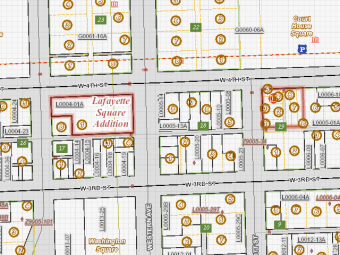
During the month of April 2018, the Parcel Query and GIS mapping applications will be updated with a new consolidated property and map viewing solution named Beacon, hosted by the Schneider Corporation.
The new service provides additional functionality and display options to users.
The service will be available the first week of April 2018, however both old and new systems will be accessible through the end of April to aid in transition.
You can continue to access the both parcel and map sites from https://www.scottcountyiowa.com/parcels.
If you have questions, please contact Scott County GIS.
Date:
March 28, 2018


